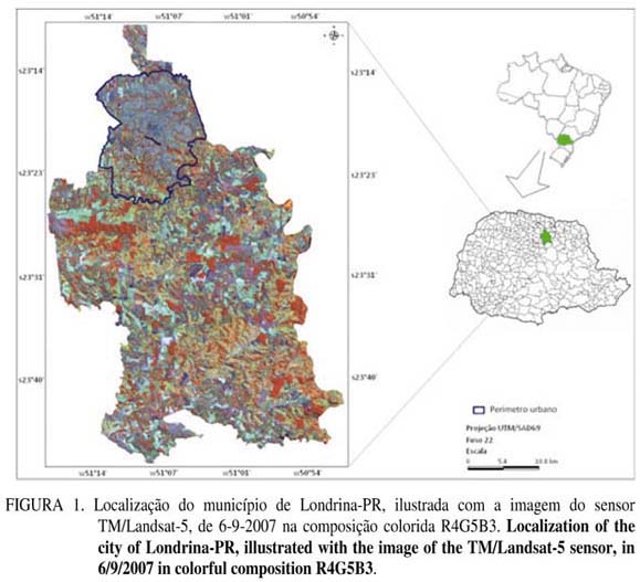
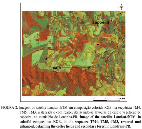
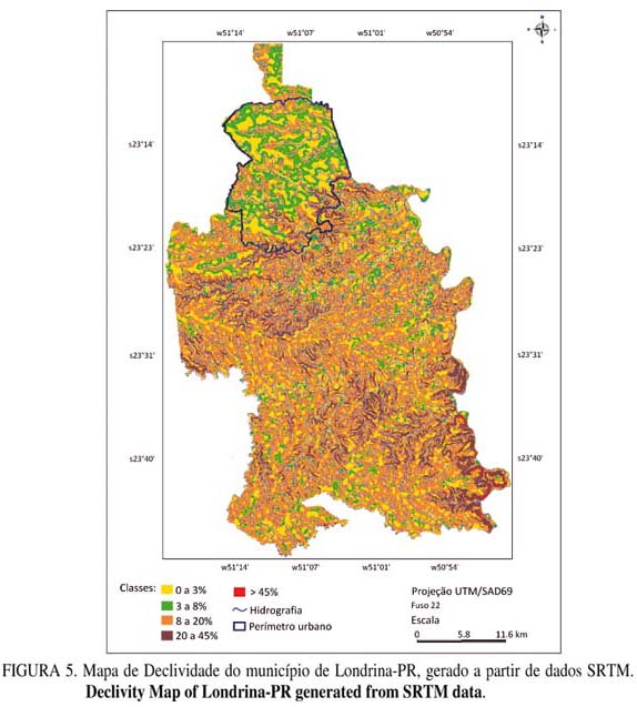
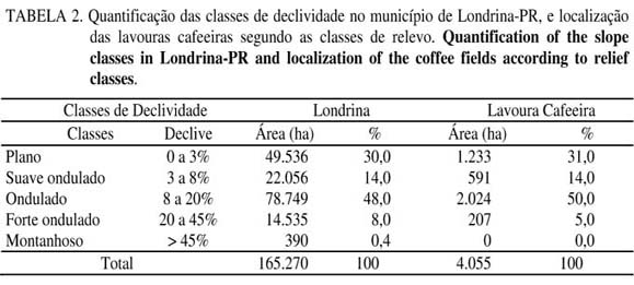
The remote sensing and geoprocessing are important tools in supporting the data collecting in agriculture. This study aimed to relate the physical variables, such as altimetry, slope and soil type with the coffee agrosystems in Londrina-PR, through image by the Thematic Mapper sensor (TM) Landsat-5, along with the techniques of geoprocessing. It was created a database with information from altimetry, slope and soil classes, and through the map algebra, it was conducted the crossing of this information with the localization of the coffee fields, which was obtained by the classifier digital Bhattacharya applied in the image. The image from the TM enabled the mapping of 79% of coffee fields, and noticed that 86% of these fields are in altitudes higher than 540 m and 50% are located over areas from 8 to 20% of slope. About the soil, it was observed that the 53% of the coffee crops are located in Eutroferric Red Nitosol. All these tasks were performed through the SPRING 4.3.3 software, which had been an adequate tool to obtain agriculture data from satellite images.
coffee; geomatic; environmental characterization


